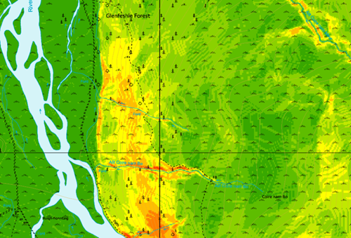
Actionable spatial insight for planning, reporting and asset decisions.
Our digital mapping services provide accurate, up-to-date spatial data and analysis tailored to forestry and land-based use cases.
Capabilities
• GIS mapping and data management
• Mobile GIS for field workflows
• Land registry and boundary mapping
• Custom spatial reports and outputs
These services streamline decision making, grant applications and reporting with reliable geographic data.